Former Railway Embankment Feldkirchner Tangente
Feldkirchner Tangente—Munich’s “wild east”?
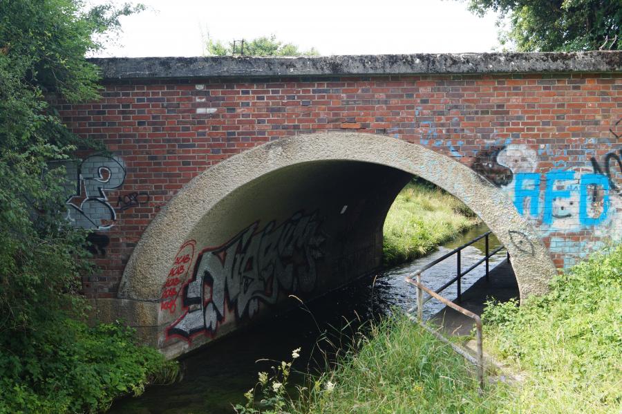
Just past Johanneskirchen there is an unremarkable railway embankment. Bordered by a racecourse, garden plots, and a gravel mine, the old rail line crosses the Hüllgraben canal on the way to Feldkirchen. This stretch of track was built during the Second World War to facilitate freight transport to Munich.
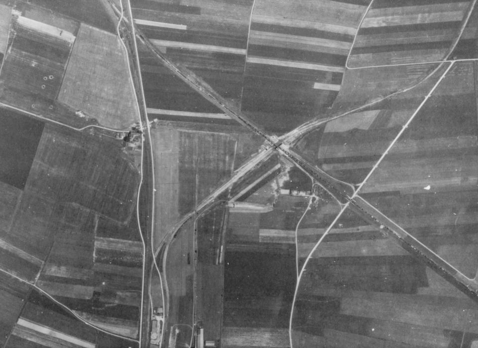
Aerial photo taken by the Allies between 1945 and 1949: Parked freight cars are still visible.
Aerial photo taken by the Allies between 1945 and 1949: Parked freight cars are still visible.
Geodatenservice - Landeshauptstadt München. More information can be found here.
Used with permission.
The copyright holder reserves, or holds for their own use, all the rights provided by copyright law, such as distribution, performance, and creation of derivative works.
But this bypass route was only used for a short time by the trains. For a long time, since the tracks were dismantled, many others have wandered along this path. Endangered fauna move about undisturbed, rare plants establish themselves, and local people go here for recreation and relaxation.
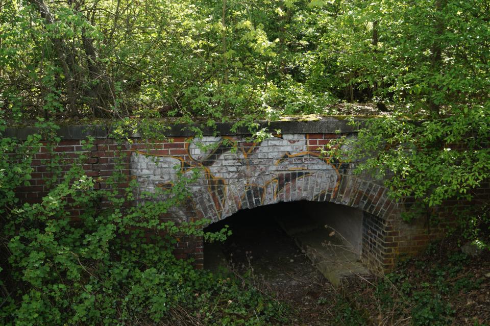
Half wild: although partially overgrown, the railway embankment is still clearly recognizable.
Half wild: although partially overgrown, the railway embankment is still clearly recognizable.
Photograph by Maike Jebasinski.
 This work is licensed under a Creative Commons Attribution 4.0 International License.
At first glance, the former railway embankment seems wild and abandoned. In contrast to the planned and tended urban green spaces, the embankment is overgrown with trees and bushes. In places, deadwood blocks the dirt path. But is the nature in this eastern corner of Munich really so undisturbed? And will it remain undisturbed as the city continues to grow and develop?
The brief life of a railway route
Afraid that bombs would strike the central station and the connecting railway lines within the city, the German Reichsbahn planned to build a bypass route that would divert freight traffic around the outskirts of Munich.
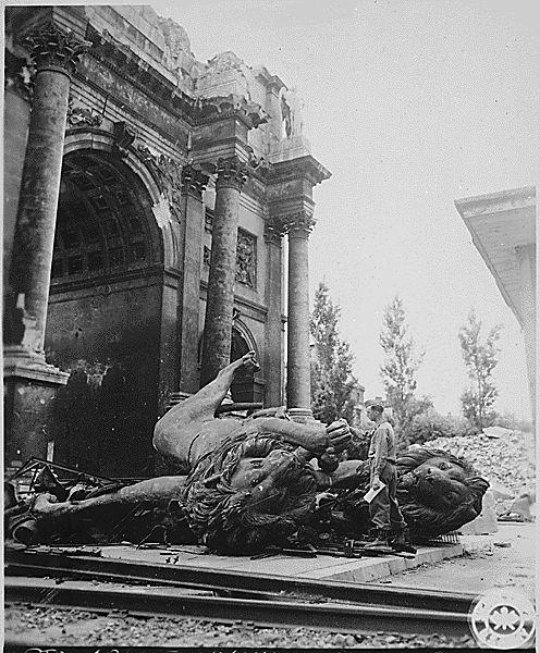
Munich was an important center of the National Socialists and therefore a target of many air raids. The photograph shows the Munich Siegestor in 1945 in the aftermath of an air raid.
Munich was an important center of the National Socialists and therefore a target of many air raids. The photograph shows the Munich Siegestor in 1945 in the aftermath of an air raid.
Photograph by the US Army Signal Corps, Liberary of Congress, Washington, D.C.
This image is in the public domain. It can be found here.
 This work is licensed under a Creative Commons Public Domain Mark 1.0 License.

The heavily damaged Siegestor in Munich after an air raid.
The heavily damaged Siegestor in Munich after an air raid.
This photograph belongs to the Bayerisches Landesamt für Denkmalpflege, photograph by Lis Römmelt.
Used with permission.
The copyright holder reserves, or holds for their own use, all the rights provided by copyright law, such as distribution, performance, and creation of derivative works.
As part of the expansion of the northern ring line to the east, an eight-kilometer-long embankment was built up between Johanneskirchen and Feldkirchen. In 1941 the singletrack line was put into service. But the end of the war also meant an early end to the use of this route. By 1949 the tracks had already begun to be dismantled and the bypass became abandoned land.
Flora and fauna were able to settle here without interference, and in the 1980s the city declared this space to be a “protected landscape element.“
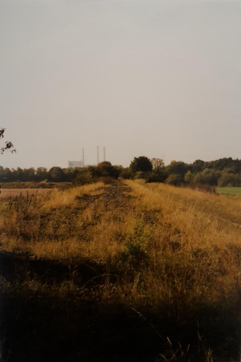
In the 1990s, the former railway embankment was mostly left to itself. The thermal power station Oberföhring can be seen in the background.
In the 1990s, the former railway embankment was mostly left to itself. The thermal power station Oberföhring can be seen in the background.
Photograph by Karin Bernst.
Used with permission.
The copyright holder reserves, or holds for their own use, all the rights provided by copyright law, such as distribution, performance, and creation of derivative works.
Today the Feldkirchner Tangente and its history has been almost completely forgotten. There are no signs recalling how it was once used.

The former railway embankment reaches a height of four meters. The former track bed is still visible.
The former railway embankment reaches a height of four meters. The former track bed is still visible.
Photograph by Maike Jebasinski.
 This work is licensed under a Creative Commons Attribution 4.0 International License.
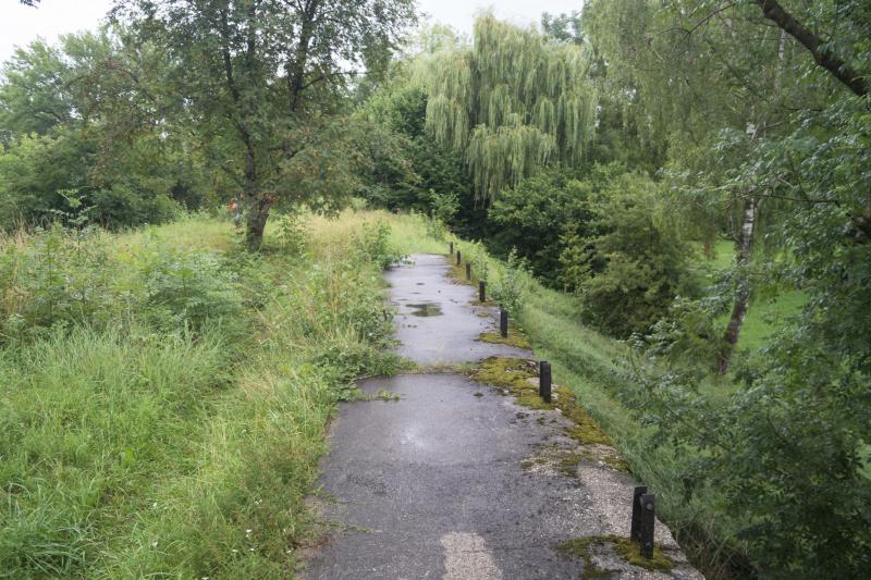
Today, several maintenance measures are in place in order to sustain the ecological conditions.
Today, several maintenance measures are in place in order to sustain the ecological conditions.
Photograph by Maike Jebasinski.
 This work is licensed under a Creative Commons Attribution 4.0 International License.
Although the freight transport needs of the Nazis were the reason the embankment was built in the first place, this stretch of land only blossomed and came into its own after the track had been abandoned.
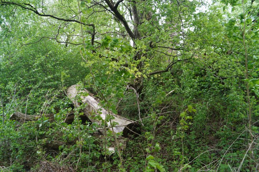
Remnants of human activity in the area
Only rarely one encounters such a seemingly wild and untouched area in the city of Munich.
Photograph by Maike Jebasinski. CC BY 4.0 international license.
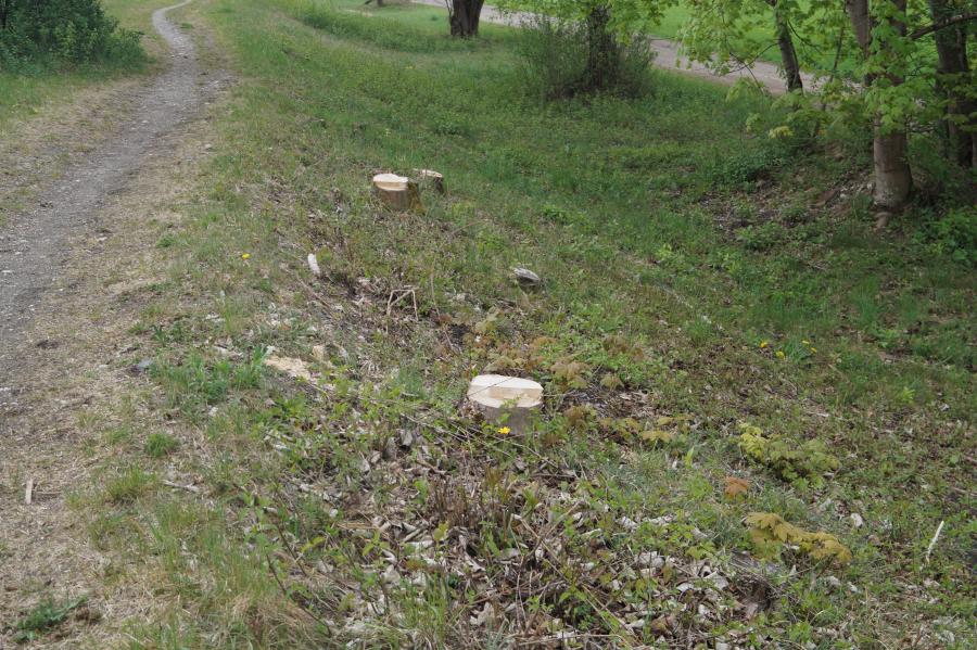
Trees and bushes are being cut regularly to prevent the former railway embankment from becoming a forest.
Photograph by Maike Jebasinski. CC BY 4.0 international license.
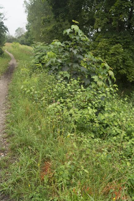
Only three months after the trees had been cut down, they have regrown and overtaken the area already.
Photograph by Anne Dietrich. CC BY 4.0 international license.
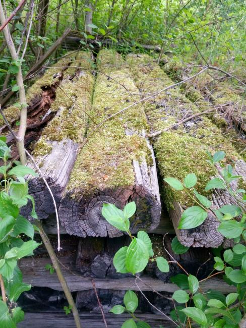
Only few things remind visitors of the areas past: Wooden sleepers are stacked in the thicket.
Photograph by Anne Dietrich. CC BY 4.0 international license.
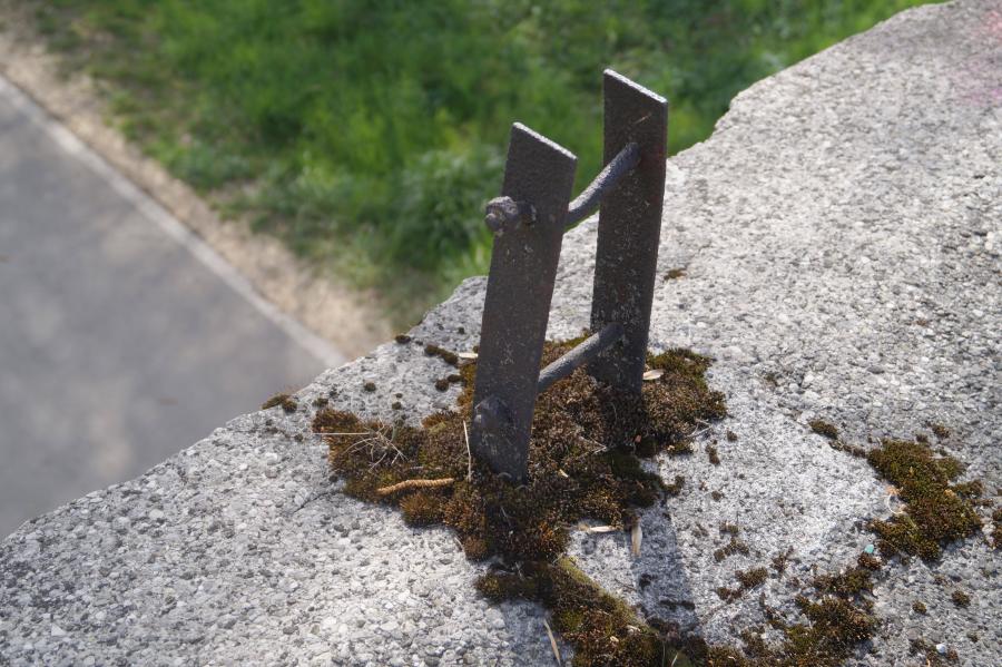
Metal fixtures in the concrete also remind visitors of a past human presence.
Photograph by Anne Dietrich and Maike Jebasinski. CC BY 4.0 international license.
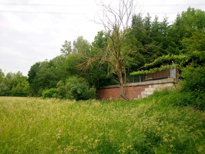
The train company, Deutsche Bahn, still owns the embankment. The most northern part are garden plots that they lease to employees.
Photograph by Anne Dietrich. CC BY 4.0 international license.
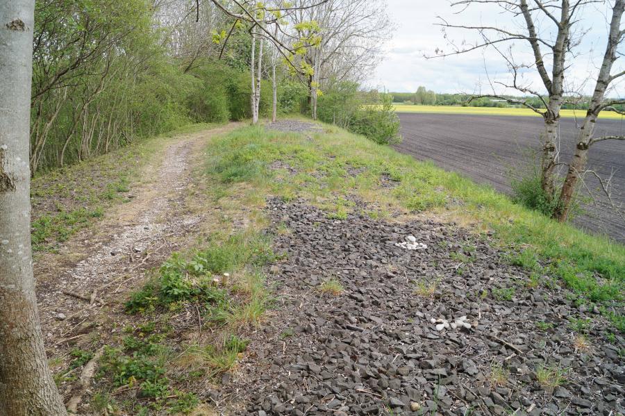
There are some traces of frequent visitors: A trail has emerged next to the former track bed.
Photograph by Maike Jebasinski. CC BY 4.0 international license.

As a shortcut to reach the nearby fields, some farmers cross the embankment with their tractors, thus ignoring regulations to protect the environment.
Photograph by Maike Jebasinski. CC BY 4.0 international license.

Some teenagers meet up on the former railway embankment. They built fire pits to enjoy the view over the Hüllgraben canal, and the nearby fields.
Photograph by Maike Jebasinski. CC BY 4.0 international license.




For decades, the former railway embankment had been left to itself. In order to be able to use it as a habitat and as a hiking trail, human intervention was necessary. Starting in 2012, the lower nature conservation authority carries out regular maintenance measures: they cut trees and bushes, mow the grass, and document the biodiversity. Without this interference, the balance between the free spaces and the forests and bushes would not remain. Wilderness still has its place: one-third of the embankment area is being left alone.

An area of urban development in the northeast of Munich: The map highlights the areas in which housing for up to 30,000 people could be created. The former railway embankment marks the northern end of this area.
An area of urban development in the northeast of Munich: The map highlights the areas in which housing for up to 30,000 people could be created. The former railway embankment marks the northern end of this area.
Graphic design by Alfred Küng.
Used with permission.
The copyright holder reserves, or holds for their own use, all the rights provided by copyright law, such as distribution, performance, and creation of derivative works.
Biodiversity
Much flora and fauna can be found on the former railway embankment. Some species are, however, endangered or even on the brink of extinction. The city regularly checks on their status. A list of the species can be found here (in German).
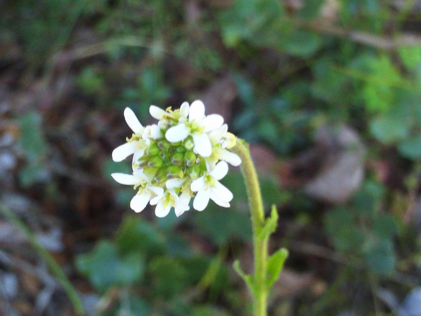
Biodiversity along the Feldkirchner Tangente
Hairy rock-cress.
Photograph by Javier Martin. This image is in the public domain. It can be found here.

Marbled white (butterfly).
Photograph by Friedrich Böhringer. CC BY-SA 2.5 license. It can be found here.
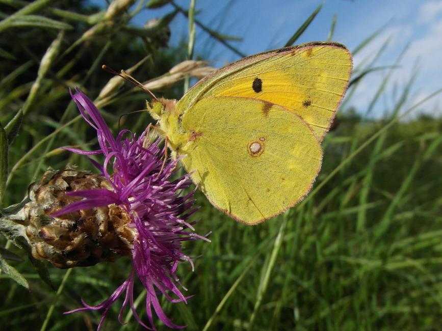
Clouded yellow (butterfly).
Photograph by Den man tau. CC BY-SA 4.0 license. It can be found here.

Map (butterfly).
Photograph by Sascha Kohlmann. CC BY-SA 2.0 license. It can be found here.
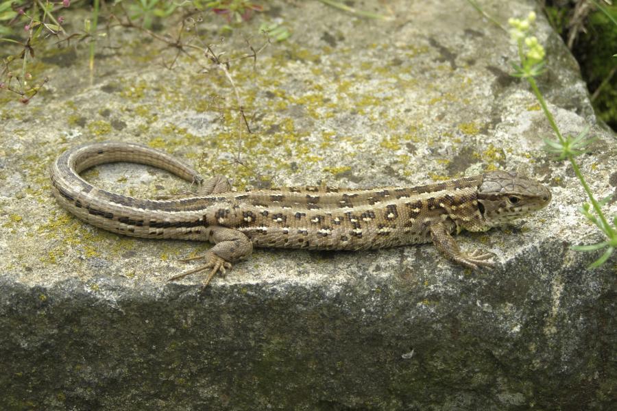
Sand lizard.
Photograph by Krzysztof Mizera. CC BY-SA 3.0. It can be found here.

(European) Green toad.
Photograph by Christian Köbele, Landesbund für Vogelschutz in Bayern e. V. Used with permission.

Winter aconite.
Photograph by Zeynel Cebeci. CC BY-SA 4.0 license. It can be found here.

Germander speedwell.
Photograph by Andreas Eichler. CC BY-SA 4.0 license. It can be found here.

Bladder campion.
Photograph by Rhododendrites. CC BY-SA 4.0 license. It can be found here.


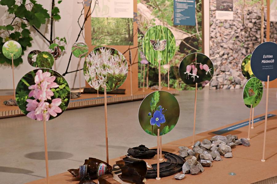
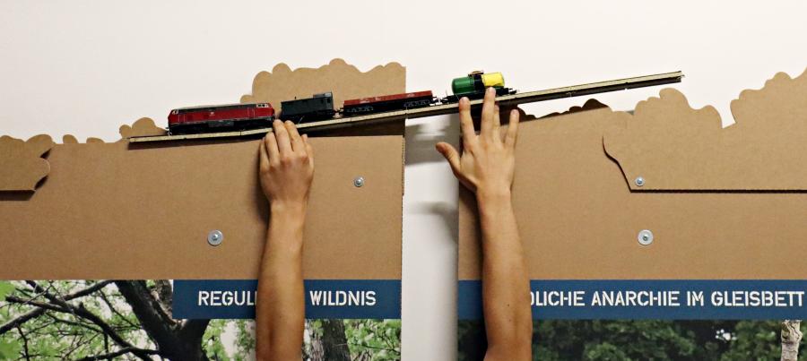
During the Ecopolis München 2019, one of the stations raised awareness of this unique part of Munich.
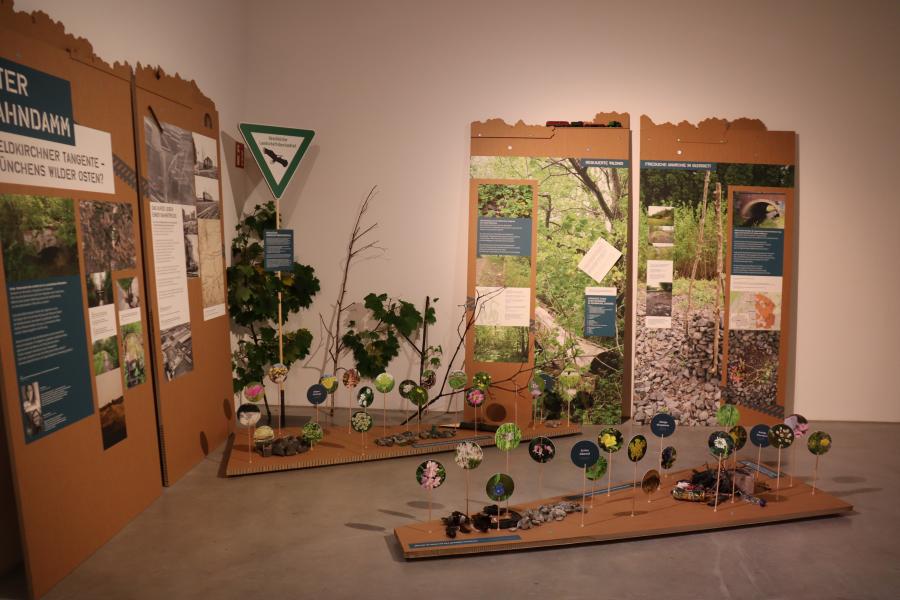
Impressions of the Feldkirchner Tangente station at the Ecopolis München 2019 exhibition
The Feldkirchner Tangente station during the physical Ecopolis München 2019 exhibition.
Photograph by Laura Kuen. CC BY 4.0 international license.


About the curators
Anne Dietrich
Anne Dietrich completed her master’s degree in social and cultural anthropology at LMU Munich in 2019. She joined the Environmental Studies Certificate Program at the Rachel Carson Center for Environment and Society in October 2016. In addition to urban environmentalism and civic engagement, her research interests focus on individual strategies of negotiating environmental problems and ecological calamities in daily life. Taking these interests further, the topic of her master’s thesis was “’Disasters are only known to man.’ Negotiation processes and coping strategies of those affected by the June 2016 flood in Lower Bavaria. A critical cultural study of natural catastrophes.” Anne is currently working at DOK.fest München/Internationales Dokumentarfilmfestival München e.V.
“And where is that again?”—I was asked this question time and again when I told others about the Feldkirchner Tangente and our research. I found it really fascinating to become an explorer of an unknown and seemingly abandoned, historical place within my own city, even—in part—battling my way through the thicket.
—Anne Dietrich
Maike Jebasinski
Maike Jebasinski is enrolled in a master’s degree in intercultural communication at LMU Munich and partakes in the Environmental Studies Certificate Program at the Rachel Carson Center for Environment and Society. During the studies for her bachelor’s degree in European studies at the University of Passau, she focused on English and history. After a year at the University of Warsaw and internships in Italy and London, she finished her degree with a thesis analyzing how Europe is being depicted in the British Daily Mail newspaper.
When I was researching the old railway embankment, the question whether wilderness like I imagine it can even exist came up again and again. There are very few truly pristine places left in the world.
—Maike Jebasinski
How to cite: Dietrich, Anne, and Maike Jebasinski. “Former Railway Embankment Feldkirchner Tangente.” In “Ecopolis München 2019,” edited by Katrin Kleemann. Environment & Society Portal, Virtual Exhibitions 2020, no. 2. Rachel Carson Center for Environment and Society. http://www.environmentandsociety.org/node/9025.


