
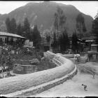
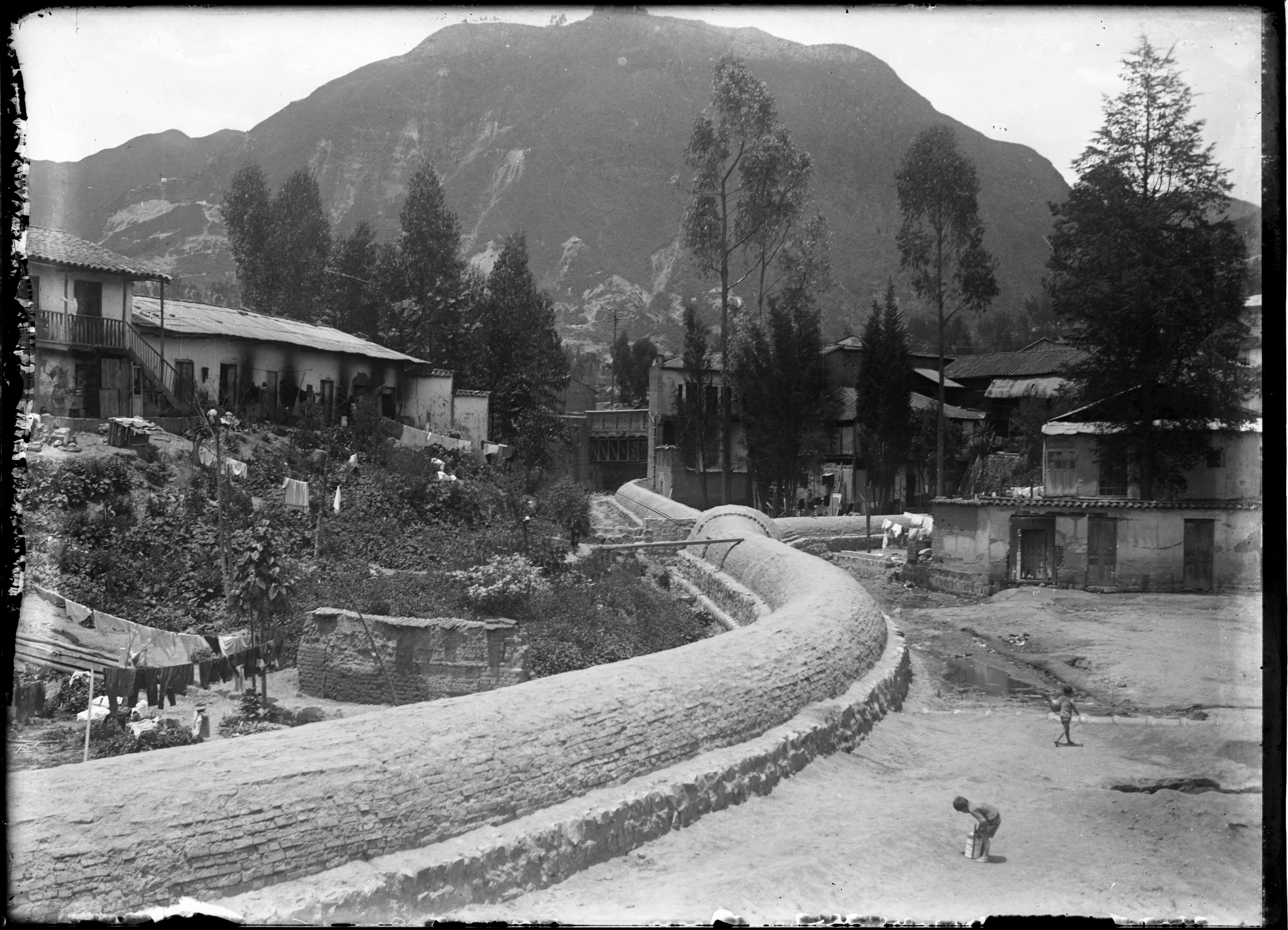
Canal río San Francisco (Photographed by Acuña, Luis Alberto [1930]). San Fransisco River Channel, 1930.
Canal río San Francisco (Photographed by Acuña, Luis Alberto [1930]). San Fransisco River Channel, 1930.
© Museo de Bogotá. Instituto Distrital de Patrimonio Cultural. Collection Luis Alberto Acuña, Reference MdB0082.
The copyright holder reserves, or holds for their own use, all the rights provided by copyright law, such as distribution, performance, and creation of derivative works.
This image appears in: Gallini, Stefania, Laura Felacio, Angélica Agredo, and Stephanie Garcés. (2014). “The City’s Currents: A History of Water in 20th-Century Bogotá.” Environment & Society Portal, Virtual Exhibitions 2014, no. 3. Rachel Carson Center for Environment and Society. http://www.environmentandsociety.org/node/6295.
Channeling and diverting urban rivers to place them out of sight and smell was the solution prompted from the second decade of the twentieth century. The first targets were the San Francisco and San Agustín rivers: terrains adjacent to the channeled rivers were paved and became urban avenues and squares with ornamental, hygienic and mobility purposes. They were then transformed into collectors integrated to the sewer system, finally expelling their load outside the urban perimeter when they reached the Bogotá River, the main stream of the Bogotá Savanna.
—Stefania Gallini, Laura Felacio, Angélica Agredo, and Stephanie Garcés
Read more here.