NL 001-013_076
Source: Alfred Wegener, Tagebücher, June 1912 – July 1913. DMA NL 001/013.
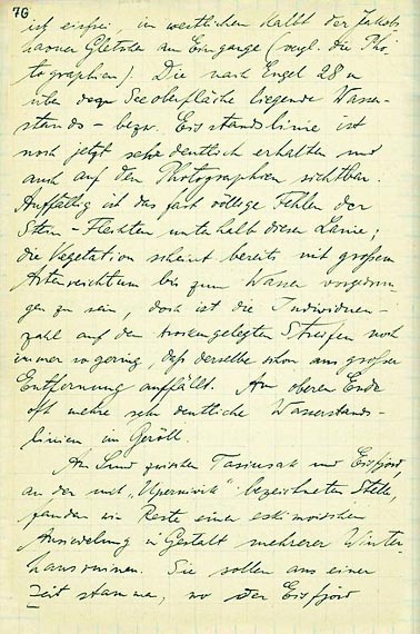
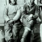
[076] ist eisfrei, im westlichen kalbt der Jakobshavner Gletscher am Eingange (vgl. die Kartographien). Die nach Engel 28m über die Seeoberfläche liegende Wasserstands- , bzw. Eisstandslinie ist noch jetzt sehr deutlich erhalten und auch auf den Photograhpien sichtbar. Auffällig ist das fast völlige Fehlen der Stein-Flechten unterhalb dieser Linie; Die Vegetation schient bereits mit großem Artenreichtum bis zum Wasser vorgedrungen zu sein, doch ist die Individuenzahl auf dem trockengelegten Streifen noch immer so gering, daß derselbe schon aus großer Entfernung auffällt. Am oberen Ende oft mehrere sehr deutliche Wasserstandslinien im Geröll. An Land zwischen Tasiusak und Eisfjord an der mit „Upperniviak“ bezeichneten Stelle, fanden wir Reste einer eskimoischen Ansiedlung in Gestalt mehrere Winterhausruinen. Sie sollen aus einer Zeit stammen, wo der Eisfjord
[076] is free of ice, the Jakobshavn glacier in the western lake is calving at the entrance (see cartography). The water level line, or rather ice line, of 28 m above the [present] surface of the lake, measured by Engels, is even now clearly preserved, as seen in the photographs. The almost total lack of stone lichens below the line is noticeable. Vegetation seems to already have found its way to the water in a great diversity of species. Still, the individual amount of vegetation on the dried-up strip is still very low and catches one’s eye, even from a great distance. On the upper end one sees several pronounced water level lines in the rocky debris. In the mainland between Tasiusak and Eisfjord, at the location named “Upperniviak,” we found the remains of an Eskimo settlement in the shape of several ruins of winter housing. They are supposed to stem from a time when the Eisfjord
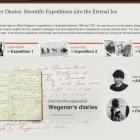
The Wegener Diaries: Scientific Expeditions into the Eternal Ice
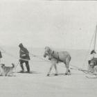
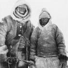
This virtual exhibition sheds light on Alfred Wegener’s expeditions to Greenland between 1906 and 1931. Its main focus is on the diaries Wegener wrote during his explorations, which offer unique insights into the manifold challenges man and material faced in Greenland’s extreme environments. You may choose to read the diaries in their original state, or browse the expeditions individually and read transcribed and translated excerpts by clicking on the individual chapters.
This version, published in 2020, includes minor updates to the original 2013 virtual exhibition. PDFs of the virtual exhibition, as well as original scans and transcripts of the Wegener Diaries, can be found at the exhibition’s PDF Depot.
Christian KehrtAbout the author